The severe damage caused by the State’s once-in-a-year storm has cost millions of dollars as thousands of resident lodge insurance claims.
Emergency services spent another day fighting the brunt of Perth’s severe storm as calls continued to rise, with several regions across the State breaking wind gust records.
RAC Insurance said they received more than 2,700 claims since 12pm Wednesday, totaling $4.9 million in damage.
“We’re seeing a range of claim severity from fences being blown over to trees causing major damage to properties,” a spokesperson said.
“Our call center has been extremely busy since opening first thing yesterday morning. We would encourage members to lodge their claims online, where possible.”
The severe storm warning is still in place across the Perth, Midwest-Gascoyne, South West, and Great Southern regions as several cold fronts continue to battle down and bring thunderstorm weather.
The Department of Fire and Emergency Services received 405 calls for help across the State since 6.30am Tuesday.
Of those calls, 354 were for the metro region covering Alkimos down to Mandurah.
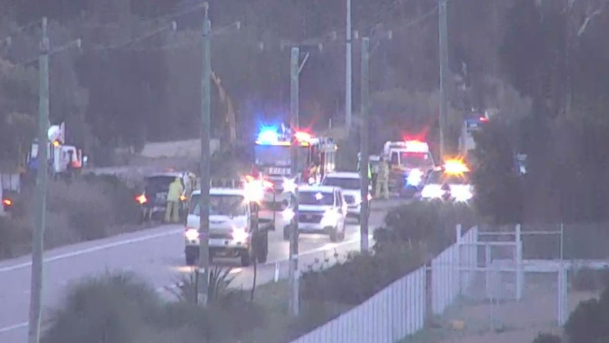
Emergency services received no rest overnight as 134 calls were made from residents who experienced damage to their homes. Of those calls, 119 were in the metro area.


A DFES spokesman said overnight damage had been reported at properties stretching from Butler in Perth’s north to Mandurah in the south.
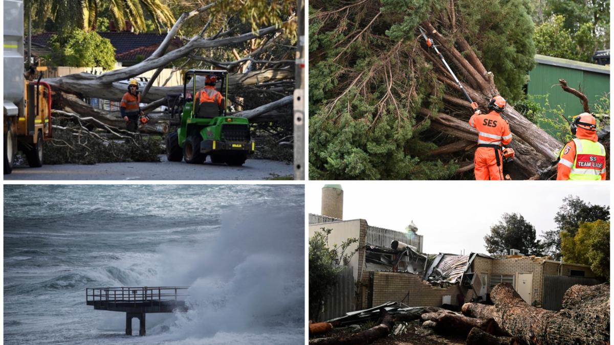
It includes a home on Walbeck Street in Kalamunda where a large tree was ripped from the ground and toppled onto the roof of a shed just after midnight. Homes have also copped a lashing, with damaged roofs and fallen trees blocking roads.
The incident took out a telephone line. The homeowner said he was up at 1am assessing the damage and called SES for help. The extent of the damage is not yet known, as the tree remains on the shed.
Thousands remain without power across parts of WA as strong wind gusts continue to rip large trees from their roots causing them to topple onto overhead lines.
In Maddington a large tree came billowing down in the early hours of the morning, taking down with it overhead powerlines.
The tree kept residents blocked inside their homes in the morning as it barricaded half of the street. Western Power was called to the scene to isolate the fallen wires and make the area safe.
The City of Gosnells sent a chipper to the area to cut up the fallen tree.
As of 12.30pm Wednesday, 13,200 homes remained without power, with 11,00 being in the metro area while the remaining 2,200 were in the South West.
It comes as parts of Perth were drenched in heavy rainfall and hail storms overnight and into Wednesday afternoon.

According to the Bureau of Meteorology, Perth Airport was soaked in 62.6mm of rainfall since the start of the storm on Monday, with the metro area also receiving heavy rainfall of up to 62.8mm.
Duty Forecaster Jessica Lingard said due to the heavy winds some of the rainfall recorded may be under the mark as the rain missed the gauges in their regions.
“With how strong the winds are, the rain is coming in sideways so we may not have picked up the correct amount of rainfall just because we see the rain skipping over the top of the rain gauge and not falling in it,” she said.
Heading towards the south, parts of Rockingham were showered with 54.9mm, while Collie was saturated with a bucketing 83mm. Cape Leeuwin received 61.6mm.
In Perth Hills, Bickley copped the brunt of the storm with a soaking 80.4mm of rainfall for the last 72 hours and record-breaking gusty winds of 117km/h. The last record was 109km/h recorded in 2009.

More severe weather is on the way
Ms Lingard said there were still some very “significant likes” across the region as the “final cold front moves through.”
Mandurah was just shy of their wind record, with BOM reporting 117km/h winds for the area. The previous record was 118km/h in 2012.
Along the coastline also received destructive winds, with Cape Naturaliste recording a gusty 93km/h. Busselton was blown away with 90km/h wind peaks, and off the coast at Rottnest Island recorded 85km/h gusts.
The early hours of Wednesday morning Ocean Reef peaked at winds over 100km/h, with Jandakot also blowing at 93km/h.
Ms Lingard said Perth should be able to sleep a little easier tonight as the last cold front pushes through the region, with conditions expected to ease come Friday.
“We’ve probably got one more burst moving through the area this evening as this final front pushes through,” she said.
“Once that system moves through. . .we will see conditions really easing, especially for the wind.
“We’ll still see some showers around tomorrow, and obviously the conditions out on the ocean are going to be pretty (rough).
.