Parts of NSW are preparing for the worst day of a rain band that is moving through the state, leading to renewed fears of flooding at inland rivers.
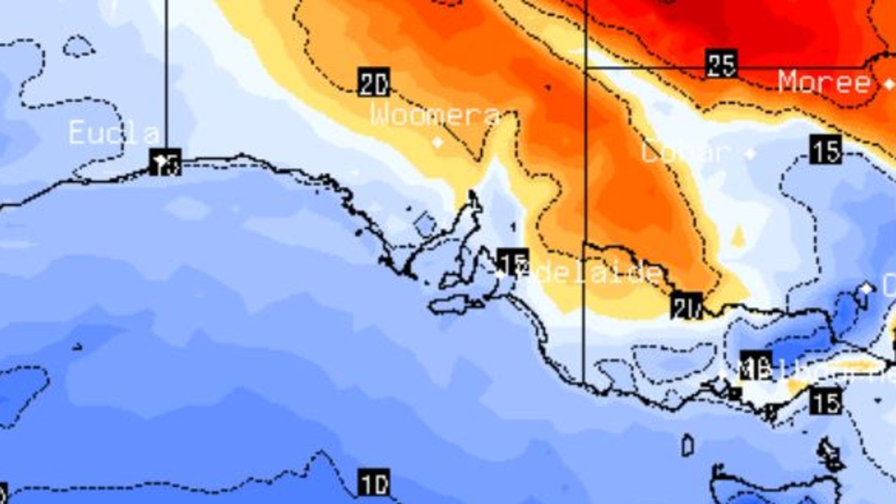
A cold front, associated with a low pressure system that moved through Western Australia, brought showers to western NSW from late Thursday and extended into eastern parts of the state on Friday.
The Bureau of Meteorology said Friday was forecasted to be the wettest day of the rain event for most NSW regions, with inland rivers at an increased risk of flooding due to recent deluges in the area.
“This rainfall may cause widespread minor to moderate and possibly major flooding along inland NSW rivers, many of which experienced flooding due to the rainfall last week,” it wrote.
The bureau expects renewed flooding at multiple river catchments littered across the state on Friday, including a minor to major flooding for the Macquarie River downstream of Burrendong Dam.
The other 13 warnings were either minor or moderate in nature for parts of inland NSW, with up to 25-55mm of rain possible around the northwest and central west plains.
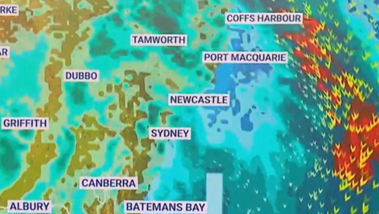
Widespread rain and possible storms are predicted until Saturday across the coast, with Sydney and Newcastle expected to experience a deluge on Friday, while it could last until Sunday for inland regions.
Last month was the wettest July on record for much of the NSW east coast, including Sydney, with rainfall around four to eight times higher than average.
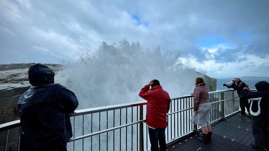
Parts of Victoria are also being impacted by the east-coast deluge, with rain bucketing down since 9am on Thursday.
Mount Buffalo copped 51.6mm of rain in the last 24 hours, while Archerton experienced a 34.6mm soaking.
Rainfall totals have generally been 5-10mm across the state, but increased to around 15-25mm over the central ranges and 20-30mm in the northeast ranges.
Minor flood warnings are in place for parts of the Murray and Kiewa rivers.
The bureau’s climate outlook forecast is that rain will likely be above median for much of Australia over the coming fortnight but below median for parts of the tropics.
.