Winds of up to 100km/h have hit NSW, Victoria and Tasmania early on Thursday.
Canberra could see two months’ worth of rain fall in just 24 hours after 40mm of rain hit the ACT since midnight.
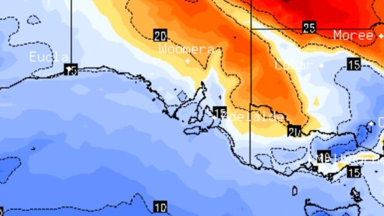
The cold front that whipped up damaging winds in Western Australia earlier this week has moved east across the Great Australian Bight overnight.
A complex low pressure system moving across the Great Australian Bight and an associated through and cold front are causing vigorous north-westerly winds across southeast NSW.
NSW and Victorian snowfields are set to suffer under a downpour of rain and gale-force winds, prompting Thredbo resort to close all lifts for the day.
Damaging north-westerly winds and dangerous surf are forecast throughout the day in South Australia, Victoria, Tasmania, NSW and the ACT, according to the Bureau of Meteorology.
Heavy rainfall is expected in some regions, and the bureau is monitoring the situation for isolated major flooding possible in catchments in southern NSW, northern Tasmania and Victoria’s northeast.
Sheep graziers across the south of NSW, ACT and parts of South Australia are warned that cold temperatures, showers and gusty winds are expected through Friday. There is a risk to lambs and sheep exposed to these conditions.
NSW/ ACT
Damaging wind gusts of more than 125km/h are likely for alpine areas above 1900m on Thursday.
Khancoban, behind Perisher Valley recorded a wind gust of 100 km/h at 2am while nearby Cabramurra recorded a gust of 98 km/h just after midnight.
The Snowy Mountains and South West Slopes could receive between 45mm and 60mm of rainfall.
Lightning and gale-force winds are expected throughout the day and have prompted Thredbo resort to shut down all lifts for the day to the disappointment of holiday-makers.
Just 22 of Perisher resort’s 53 lifts are open on Thursday and will continue to be monitored throughout the day for safety.
Inland water catchments are on flood watch as heavy rainfall across the central and southwest of the state could bring minor to isolated major flooding.
Saturated soils in the Central Tablelands and Illawarra will bring an increased risk of fallen trees and powerlines in powerful winds.
The west ranges of the ACT, east to Bombala, south to Crookwell and north to Oberon can expect damaging winds of up to 90km/h on Thursday morning.
South Australia
Strong to damaging winds smashed the western and southern coasts of the state on Wednesday afternoon.
They will return again on Thursday, bringing showers and thunderstorms to widespread areas of the south.
Up to 60mm of heavy rainfall is possible for parts of the Lofty Ranges into Thursday evening and Friday morning.
The area is on watch for a localized riverine or flash flood threat.
Victory
High-speed winds of up to 100km/h lashed the alpine regions on Wednesday and may return on Thursday.
Mt Hotham recorded 56.4mm in the 6 hours to midnight this morning.
Some parts of the state will receive up to 60mm of heavy rainfall throughout the morning, though most will average under 40mm.
A severe thunderstorm warning was canceled on Wednesday but conditions may return.
Rainfall of between 5mm and 10mm brought minor flood warnings for Seven and Castle creeks near Shepparton.
Tasmanian
Winds of up to 100km/h reached the state’s higher ground overnight and strong winds are expected to stick around through Thursday in coastal areas.
A minor flood warning is current for the Mersey, Meander, North Esk and Macquarie rivers.
Thunderstorms in the north and west of the state may drive more strong wind likes and higher rainfall totals.
Read related topics:Weather
.