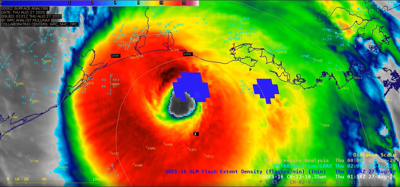
Despite the meager prospects in the short term, the National Oceanic and Atmospheric Administration announced Thursday that it is still expecting an above-average season, with three to five major hurricanes likely and a dozen or more named storms probable.
NOAA’s confidence levels have hardly changed, either, since its previous assessment in late May, during which the agency called for a 65 percent chance of an above-average season. Now it is saying there is a 60 percent likelihood that the season winds up above-average.
All told, NOAA’s expectation is for 14 to 20 named storms reaching tropical storm strength or better, compared with an average of 14 in a season. Of those storms, the agency thinks six to 10 will become hurricanes, and three to five will reach Category 3 strength or better with winds surpassing 110 mph.
Those odds are not indicative of whether a storm will make landfall, never mind on US soil. There have been active or even hyperactive Atlantic seasons with minimal US impact, as well as comparatively quiet seasons that brought calamitous effects stateside. At a broad glance, the 1992 Atlantic hurricane season, during which seven named storm formed, looks like a dud — until closer inspection reveals that the first storm was Category 5 Hurricane Andrew, which razed much of South Florida at the end of August.
NOAA cited an ongoing La Niña as a main driver in its prognosis, since this atmosphere-ocean pattern tends to weaken high-altitude winds over the tropical Atlantic. The slackening of those winds, which are ordinarily hostile to tropical development, makes it easier for fledgling tropical waves to grow tall and organize. La Niña is the opposite of El Niño, both of which first begin as anomalies in water temperatures measured across the eastern tropical Pacific.
In early July, the National Weather Service stated that there was a 62 percent chance that La Niña would continue during August, September and October — peak hurricane season. The odds of an El Niño cropping up are a negligible 2 or 3 percent.
NOAA’s continued aggressive predictions for hurricane season in 2022 are echoed by the sentiments of other prominent forecasters, including Philip Klotzbach, a hurricane researcher at Colorado State University with a strong track record. In the short term, meaning the next two weeks, his team is expecting near-normal activity. But it hinted that things could get busier after that.
One reason to activate CSU Atlantic #hurricane season forecast is odds of #The girl this year are high. Tropical eastern and central Pacific SSTs are cooler than normal. La Nina typically increases Atlantic hurricane activity via decreases in vertical wind shear. pic.twitter.com/EijsA8xrsK
— Philip Klotzbach (@philklotzbach) August 4, 2022
“There are indications that a [tropical cyclone] could potentially form in the central tropical Atlantic in about 10 to 14 days,” read his biweekly report. “There is also potential for [tropical cyclone] development off the US East Coast in week two.”
Over the next two weeks, weather models are highlighting above-average wind shear, or a change of wind speed and/or direction with height, over the tropics. Wind shear is highly disruptive to tropical systems, pulling them apart in a tug-of-war fashion or knocking mature hurricanes off-kilter. That should change by mid-August.
“We do anticipate that there could be a reduction in vertical wind shear near the end of the two-week forecast period,” he wrote.
Thereafter, his team is still anticipating a busy season, and experts across the board have noted that the seemingly slow start is more on par with what is typical.
“It’s not as weird as it feels,” wrote Bryan Norcross, meteorologist for Fox Weather and former hurricane specialist at the Weather Channel, in a recent Facebook post. “On average, the third tropical storm is not named until August 3, so we’re still slightly ahead of the game for the moment.”
The season thus far has featured three storms — Alex, Bonnie and Colin — but has been silent since Independence Day. Bonnie formed at the start of July and became a rare “crossover” storm, transiting Central America and reaching hurricane status in the Pacific.
The peak of hurricane season in the Atlantic is usually anchored around mid-September, lagging a few months behind the summer solstice since it takes a while to heat up the ocean waters — the elixir of life for tropical systems. Because of that “thermal inertia,” or slow-to-change nature of sea surface temperatures, the oceans often remain warm well into the autumn, the reason the “official” end to hurricane season isn’t until Nov. 30.
Sea surface temperatures over large areas of the western Atlantic and Gulf of Mexico are several degrees above average, indicating that there will be plenty of energy to support some dangerous storms. And in an era in which hurricanes are demonstrably becoming wetter, more intense and more prone to bouts of rapid intensification because of human-induced climate change, the lull we’re experiencing may very well simply be the calm before the storm.
