GRAND RAPIDS, Mich. (WOOD) — Wednesday is going to be an active weather day in West Michigan starting with heat and humidity, and finishing with strong to potentially severe thunderstorms.
HEAT INDEX VALUES CLIMB TO 105 DEGREES
A warm front will surge through West Michigan for Wednesday and it will usher in some serious heat. Temperatures will climb from the low to mid 80s on Tuesday to the low 90s on Wednesday. What makes the heat dangerous is the humidity that will stream in with it.


High temperatures will likely be feeling like 100 degrees through Wednesday afternoon. This intensity of heat can be dangerous for West Michigan because of the relative infrequency of its occurrence. Easy tips like staying hydrated and finding ways to regulate body temperature are more than enough to stay safe.
STRONG TO SEVERE STORMS POSSIBLE
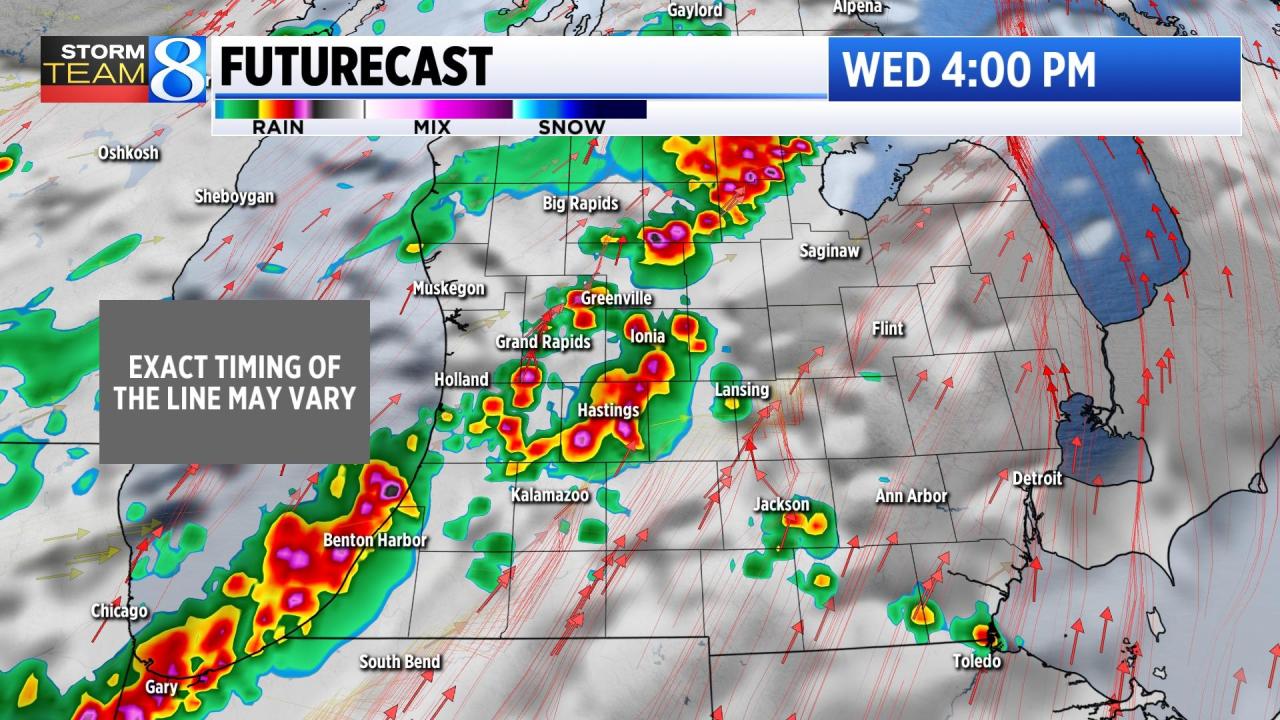
The heat and humidity will set the stage for thunderstorms Wednesday. While a few could pop early in the day, the main line is expected to form in the afternoon to evening from northwest to southeast. The Storm Prediction Center has placed most of our viewing area in a ‘Level 2’ risk area for the day.


On Level 2 risk days it is important to stay weather aware and to check in with the forecast frequently to see where the strongest storms may pop. Right now it appears the line of strongest storms with heavy rain will develop and track through during the afternoon to evening hours from northwest to southeast.

The risk of damage on Wednesday is not zero, but it isn’t overly high. Storm Team 8 will be heavily staffed in the Tracking Center to keep an eye on the line and identify any individual storms that look especially powerful.
Showers and storms will gradually push out to the southeast by Thursday afternoon. Watch for another line of strong to severe storms again Sunday night.