Another widespread rain with thunderstorms is expected to fall across all of Michigan Sunday into Monday. Northern Michigan has had several inches of rain this week, and is highlighted as an area of possible flash flooding.
While most of us should just get another very useful rain Sunday night and Monday, the weather set-up has the ability to produce streaks of three inches to four inches of rain. Flash flooding is possible in northern Michigan. Southern Michigan was very dry going into this week’s rain, and southern Michigan soils can still take several inches of rain before flash flooding.

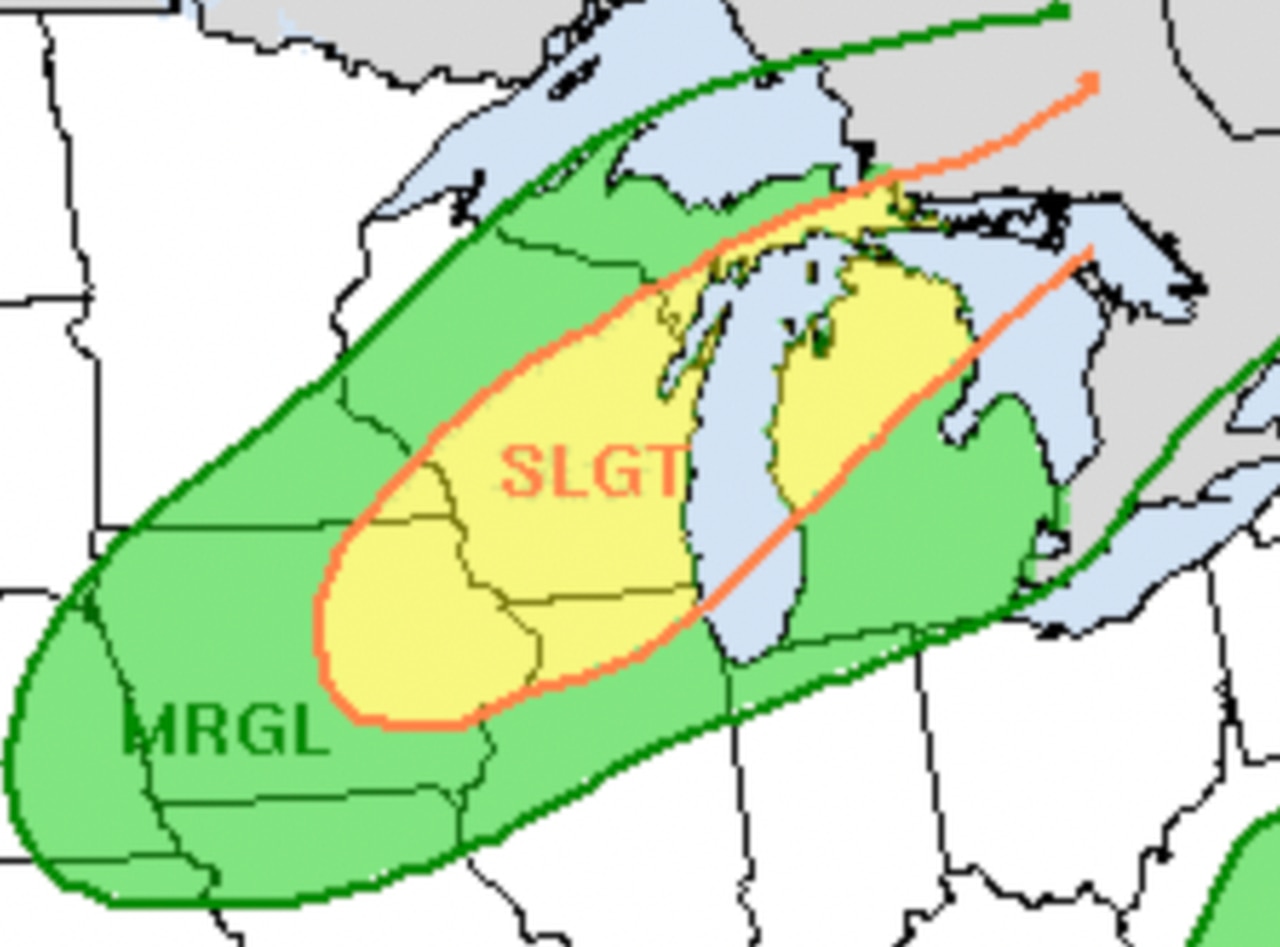
Source: National Weather Service – Gaylord, MI
I see four ingredients lining up to make up to four inches of possible rain in the total rain amounts by Monday night.
First, we will have very abundant water vapor in the air over Michigan. These tiny, invisible droplets are what eventually stick together to form a raindrop. Imagine a sponge full of water but not dripping. As you squeeze the sponge, the water empties out of it. We will have a loaded sponge in the air.
Next, a cold front will move almost straight south across Lower Michigan. This motion is important because that type of movement usually has a slower speed of movement when compared to a cold front moving west to east across Michigan. Slower speed means the thunderstorms can last longer.
Third is the possibility of “train echoes.” Train echoes are individual thunderstorm cells that move west to east over the same spot, like train cars traveling over the same tracks. In a train echo situation you can get three or four half-hour thunderstorms track right over the same spot. When each thunderstorm drops one-half inch to one-inch of rain, four bursts of that magnitude really add up.
Finally we will watch the time of day for the storms. This is very important. Peak heating in the late afternoon and evening makes thunderstorms the strongest at that time of the day. There is also a secondary peak of instability an hour either side of sunrise.
So we will likely see a train of thunderstorms moving east, and gradually shifting south. The storms will be strongest in the early morning and late afternoon/evening and then weaken some late in the morning and early afternoon. This whole scenario will go from Saturday night in the UP to Monday night in far southern Lower Michigan.
Here’s a rain forecast showing six-hour periods of rain totals.

Six-hour rain forecasts from Saturday night to Tuesday morning.
Here’s a total rainfall forecast. You can expect the heaviest thunderstorms to drop two to three times the overall general rainfall forecast.

Total rainfall forecast through Tuesday from the Weather Prediction Center at NOAA
Generally you can see we all can expect another nice rain, and that should take away any dryness in the soil for our landscapes and farmers’ crops.
The National Weather Service mentions that two to three inches of rain could produce flash flooding in the UP and northern Lower Michigan, where up to three inches of rain fell early this week. Watch for updates as the weather system gets closer to Michigan.