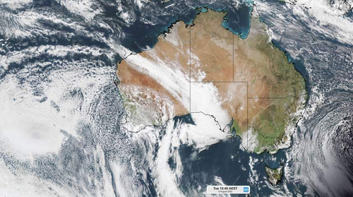
The air driving the cold front is said to be “unusually cold”, with temperatures forecast to drop 4 and 8C below average today.
The mercury at Perth’s main weather station reached just 9C at midday on Tuesday.

“This is equal to the city’s average overnight minimum temperature at this time of year and a whopping 9C below its average August maximum temperature,” Weatherzone said.
“If Perth fails to reach 14.2C before 9am on Wednesday, this will have been the city’s coldest day so far this year.”
Bureau of Meteorology (BoM) said the system will cause a spate of wild weather.

‘River City’ wakes to white-out as fog swallows city
“Cold and gusty winds behind the front will bring showers, small hail and isolated thunderstorms on Tuesday,” it wrote.
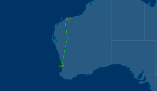
A spokesperson confirmed plane QF1206 is undergoing engineering checks at Karratha Airport in the state’s Pilbara region.

The cool air mass began moving over Perth yesterday and by 11:40am 9.8mm of rain had fallen.
“A cold front marks the boundary between two airmasses – warmer air ahead of the front and cooler air behind,” BoM explained.