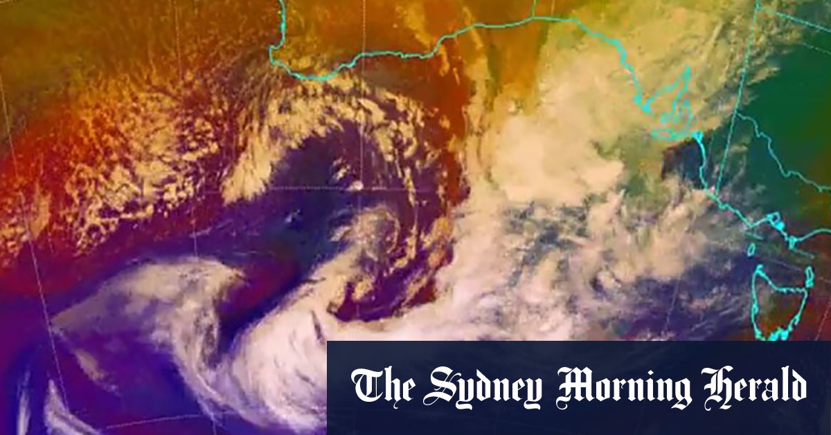
As the north-west cloud bands drift across the continent, most of the rain will fall on the western side of the Great Dividing Range, a different weather pattern that has caused flooding in Sydney and other regions over the past eight months.
loading
It may also reach some areas of southern NSW and northern Victoria that have had below-average rainfall this year.
There are not enough long-term trustworthy records to be able to say if climate change is a factor in this back-to-back negative IOD, says University of Melbourne climate scientist Andrew King.
There is some evidence we may be seeing more extreme IOD conditions as the planet warms, he said.
Earth’s background climate is warming because of greenhouse gas emissions, but there is also climatic variability that is influenced by the Indian and Pacific oceans, he said.
“When we look back in time, we see we sometimes have these conditions – warmer sea temperatures in the east Indian Ocean … and wetter conditions over south-east Australia,” King said.
It comes as the BOM has issued a severe weather warning and minor to major flood warning over much of NSW. The flood warning, driven by a series of throughs and a cold front, covers the central west and south-west of the state from Wednesday to Friday.
loading
NSW SES spokesman Greg Nash said the worst of the wet weather was likely to hit on Wednesday and into Thursday, with some areas to receive between 20 and 50 millimeters of rain.
“The forecast that has been provided to us is that there is going to be substantial rains coming up around the western slopes and around the ACT,” he said. “The SES is preparing by moving additional resources into those areas.”
The BOM previously warned that saturated soil from recent rainfall events, as well as full water systems – including most dams around NSW above 70 per cent capacity – would exacerbate flooding risks. It will be several more months until the agency can declare a third successive La Niña event, but there is a 50 per cent chance one could occur.
Sydney recorded its wettest July on record after 404 millimeters of rain fell in the CBD. The previous wettest July was 1950 with 336 millimeters. The usual average rainfall in July for Sydney is 96 millimetres. During August, the city records an average of 80 millimetres.
Meanwhile, a severe weather warning is in place in Victoria with large parts of the state to see damaging winds of up to 100km/h occurring overnight and during Wednesday.
Get to the heart of what’s happening with climate change and the environment. Our fortnightly Environment newsletter brings you the news, the issues and the solutions. Sign up here.
